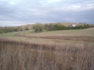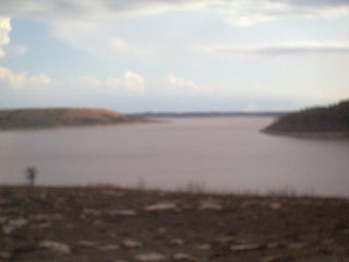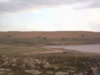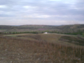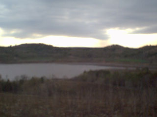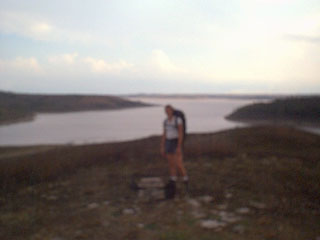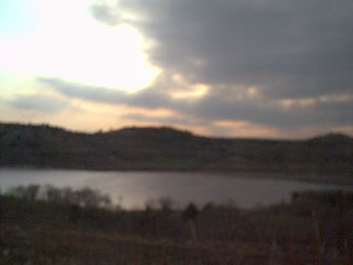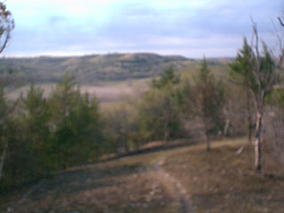
Carnahan Creek is one of the least visited areas of Tuttle Creek from our experience. This park features two creeks that flow into Tuttle Creek Lake the second largest reservoir in the State of Kansas. Within the park are roughly 6 miles of medium difficulty trails. These trails are used by hikers, horses and Mountain Bikes. There are public bathrooms and boat ramps but potable drinking water isn't present. Camping is also free in this park which is always nice.
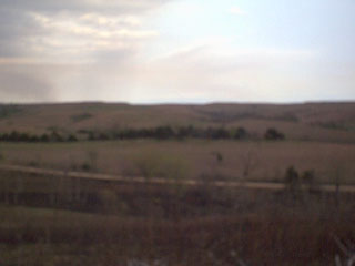
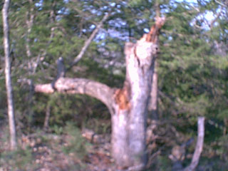
We arrived at Carnahan Creek in the late afternoon of April 21, 2001. Most of the day was spent exploring every trail within the park. We ended up camping overnight next to the lake listening to the waves all night. The next day was spent packing up camp and eating lunch overlooking one of the small streams in the park.
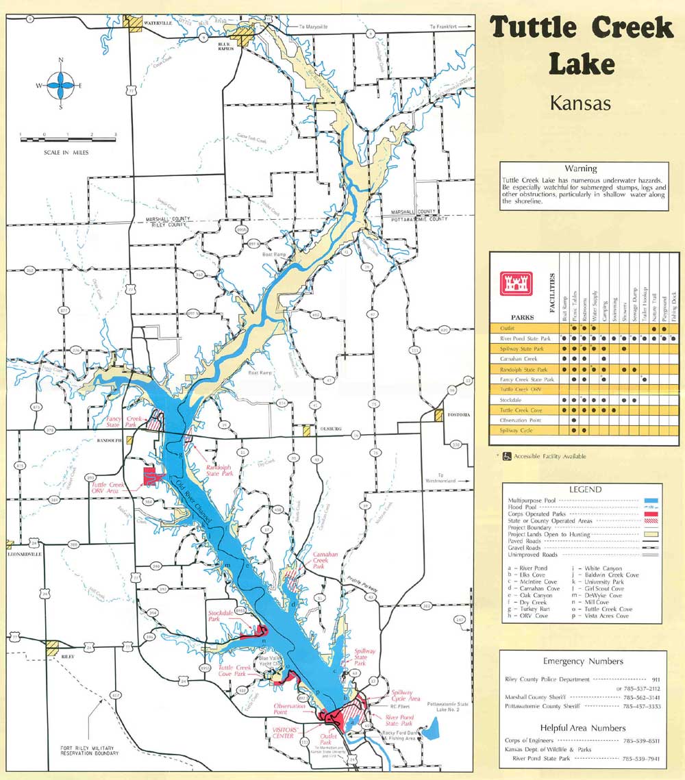
If you need help finding Carnahan Creek try this Kansas map. You can also try this full size map of Tuttle Creek if you are somewhat familiar with the area.
Added 06.10.2001 - After we went on this trip we were contacted by the Kansas Trails Council through e-mail. We were informed of some trails starting in the north part of the Carnahan Creek Area. These trails follow the shore of Tuttle Creek up to the Garrison Boat Ramps. Olivia Huddleton from the Kansas Trails Council also sent us a map of the Carnahan trails and a map of the trails near Randolph. We have scanned both of these maps and added them to the site for public use.
If you have any questions or comments about this park e-mail Carnahan.Creek@SmithZone.com.